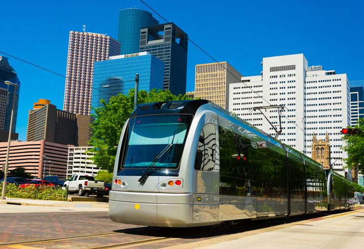
Since 2004, when a decades-long fight brought light rail to Houston, MetroRail has been a fixture in our city.
How to Ride
- You could plan your trip using Metro’s trip planner — but Google Maps is probably more convenient.
- A one-way ticket costs $1.25.
- If you’ve never ridden before, the easiest way to buy a ticket is to use one of the ticket machines at the rail stop. Those accept cash, credit cards and debit cards.
- Other ways to pay: Download Metro’s ticketing app. Or use the Metro Q Card, which you can buy and reload at grocery stores, gas stations, or online.
The Rail Lines
- There are three lines, each named for a color. Here are maps of each line.
- The Red Line, the oldest and most popular, is 13 miles long and has 25 stations. It starts at Northline Transit Center and extends to Fannin South.In between, there’s the Texas Medical Center, the Museum District, and NRG Park.
- The Green Line travels through the East End, starting from downtown’s Theater District and ending at Magnolia Park Transit Center.
- The Purple Line starts downtown and heads southeast along Capitol and Rusk street, ending at the Palm Transit Center near MLK and Griggs. This line also travels through Third Ward, with stops at both University of Houston and Texas Southern University.
Now get riding!